Connect with us
We’re experimenting with AI-generated content to help deliver information faster and more efficiently.
While we try to keep things accurate, this content is part of an ongoing experiment and may not always be reliable.
Please double-check important details — we’re not responsible for how the information is used.

Climate

2024 US Coastal Community Report Cards: Navigating Future Sea Levels with Data-Driven Insights

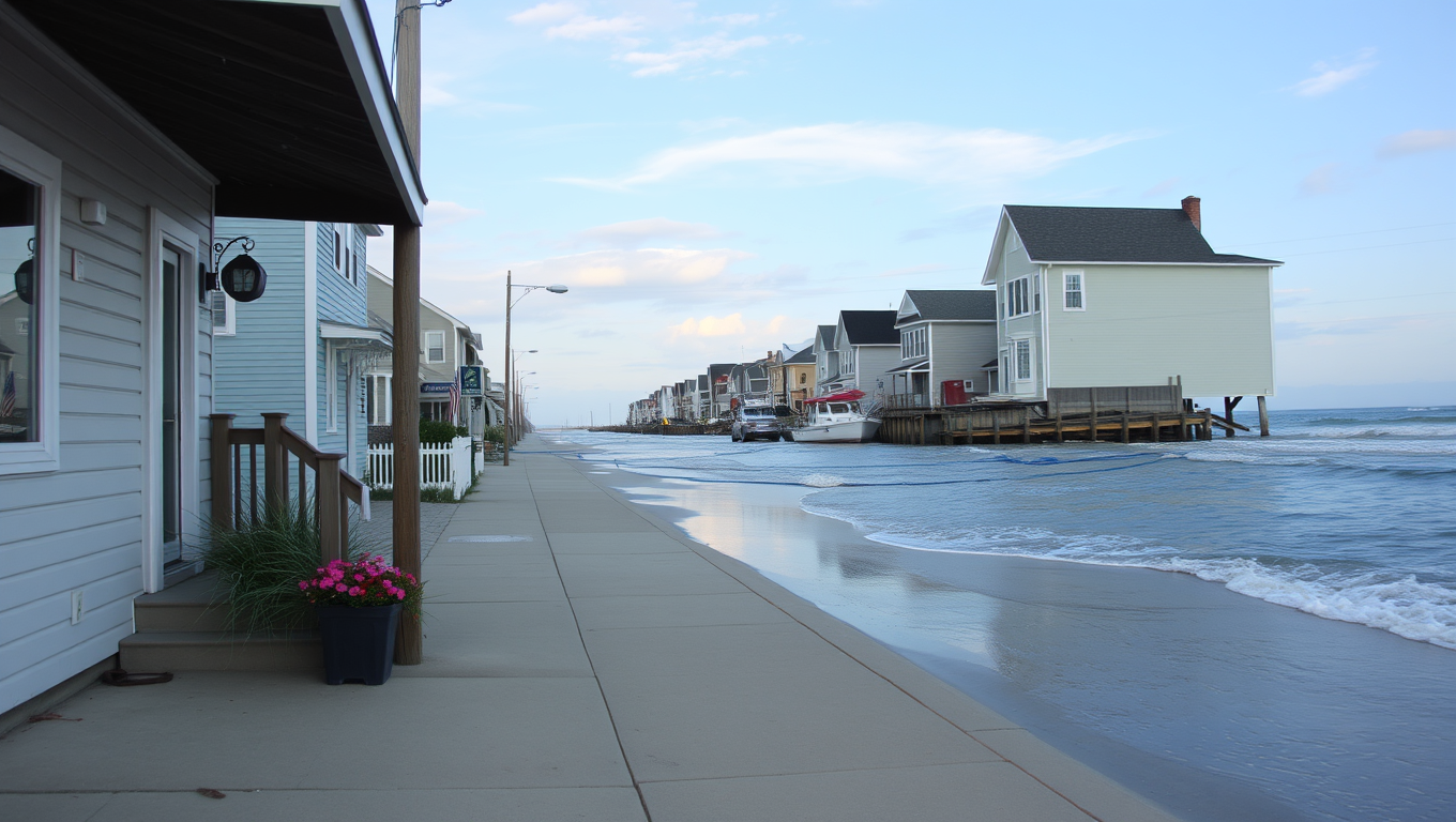
Researchers have released their 2024 U.S. sea level ‘report cards,’ providing updated analyses of sea level trends and projections for 36 coastal communities. Encompassing 55 years of historical data in a new, interactive dashboard, the report cards aid planning and adaptation efforts by forecasting rates of sea level rise to 2050.
Avatar photo

Published

on

The 2024 US Coastal Community Report Cards have been released by the William & Mary’s Batten School and VIMS, providing valuable insights into sea level trends and projections for 36 coastal communities across the country. This year’s report cards feature an interactive dashboard and incorporate data from additional tide gauge stations in Annapolis, MD; Solomons Island, MD; Yorktown, VA; and Fort Myers, FL.

Unlike average global sea level rise projections, these report cards consider regional factors such as geological uplift, land subsidence, ocean currents, and other processes that impact local sea levels. “Many people who live near the coast want to know what they can reasonably expect over the next few decades,” says Molly Mitchell, an assistant professor at the Batten School of Coastal & Marine Sciences & VIMS. “Our reports are created using observed tide gauge data from the past 55 years and reflect the exact experience at the location of the gauge.”

The report cards group localities into four regions: East Coast, Gulf Coast, West Coast, and Alaskan Coast. Each report card displays monthly sea level averages, high-and low-water levels caused by storms and other transient events, as well as a decadal signal showing the influence of longer-term climate patterns such as El Niño.

The projections also show the range of sea level rise within the 95% confidence interval, allowing individuals and municipalities to plan adequately for the highest predicted rates of sea level rise. Most locations continue a trend of accelerating sea level rise; however, Mitchell notes that projections have remained mostly uniform since reporting began in 2018, apart from a few notable exceptions.

“One interesting new trend is the acceleration occurring in southeastern states such as South Carolina and Georgia,” said Mitchell. “We continue to see the fastest rates of sea level rise in Gulf states like Texas and Louisiana, but many of the East Coast stations are accelerating quite quickly, likely due to patterns of water distribution related to glacial melt from the Greenland ice sheet.”

Mitchell also notes that most West Coast localities have been fairly stable, despite past predictions that they would increase rapidly. This has led to some questions about why.

Information about the processes most affecting regional sea levels is listed on the Batten School & VIMS website: List of cities, states and processes. Emeritus Professor John Boon launched the sea level report cards in 2018 following the publication of the study Anthropocene Sea Level Change: A History of Recent Trends Observed in the U.S. East, Gulf and West Coast Regions, which showed a notable increase in sea level acceleration rates beginning in 2013-2014.

Climate

Antarctica’s Ocean Flip: Satellites Reveal Sudden Salt Surge Meltng Ice from Below

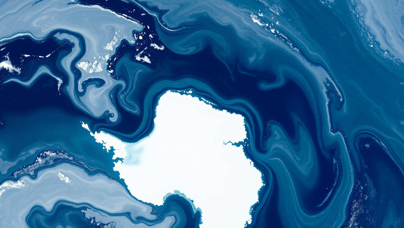
A massive and surprising change is unfolding around Antarctica. Scientists have discovered that the Southern Ocean is getting saltier, and sea ice is melting at record speed, enough to match the size of Greenland. This change has reversed a decades-long trend and is letting hidden heat rise to the surface, melting the ice from below. One of the most dramatic signs is the return of a giant hole in the ice that hadn’t been seen in 50 years. The consequences are global: stronger storms, warmer oceans, and serious trouble for penguins and other polar wildlife.

Avatar photo

Published

on

Antarctica’s Ocean Flip: Satellites Reveal Sudden Salt Surge Melting Ice from Below

In a shocking discovery, researchers have found that the Southern Ocean surrounding Antarctica has undergone a dramatic and unexpected shift. Since 2015, the region has lost an astonishing amount of sea ice, equivalent in size to Greenland – the largest environmental change witnessed anywhere on Earth in recent decades.

The ocean’s surface salinity has been rising, while the sea ice is rapidly declining. This sudden turn of events has significant implications for the planet. The findings were published in a study led by the University of Southampton, using European satellite data to reveal the unexpected changes in the Southern Ocean.

For decades, the ocean’s surface had freshened (becoming less salty), helping sea ice grow and thrive. However, this trend has sharply reversed, with scientists detecting a sudden rise in surface salinity south of 50° latitude. This shift has coincided with the dramatic loss of sea ice around Antarctica and the re-emergence of the Maud Rise polynya – a massive hole in the sea ice nearly four times the size of Wales.

The findings were published on June 30 in the Proceedings of the National Academy of Sciences. Dr. Alessandro Silvano, who led the research, warned that this new state could have permanent consequences for the Southern Ocean and the planet as a whole. The effects are already global: stronger storms, warmer oceans, and shrinking habitats for penguins and other iconic Antarctic wildlife.

The research team has attributed the sudden rise in surface salinity to a weakening of stratification between water layers. In the winter, cold, fresh surface water overlays warmer, saltier waters from the deep. As the surface cools and sea ice forms, the density difference weakens, allowing heat to be transported upward, melting the sea ice from below.

The early 1980s saw a strengthening of stratification, trapping heat below and sustaining more sea ice coverage. However, this trend has reversed, with new satellite technology and data from floating robotic devices revealing that surface salinity is increasing, stratification is weakening, and sea ice has reached multiple record lows – with large openings of open ocean in the sea ice (polynyas) returning.

This groundbreaking study highlights the urgent need for continuous satellite and in-situ monitoring to better understand the drivers of recent and future shifts in the ice-ocean system. The project was supported by the European Space Agency, and the paper “Rising surface salinity and declining sea ice: a new Southern Ocean state revealed by satellites” is available online.

Continue Reading

Atmosphere

Uncovering the Hidden Link: NASA Discovers Connection Between Earth’s Core and Life-Sustaining Oxygen

For over half a billion years, Earth’s magnetic field has risen and fallen in sync with oxygen levels in the atmosphere, and scientists are finally uncovering why. A NASA-led study reveals a striking link between deep-Earth processes and life at the surface, suggesting that the planet’s churning molten interior could be subtly shaping the conditions for life. By comparing ancient magnetic records with atmospheric data, researchers found that these two seemingly unrelated phenomena have danced together since the Cambrian explosion, when complex life first bloomed. This tantalizing connection hints at a single, hidden mechanism — perhaps even continental drift — orchestrating both magnetic strength and the air we breathe.

Avatar photo

Published

on

The study published in Science Advances by NASA scientists has revealed a significant correlation between the strength of the Earth’s magnetic field and fluctuations in atmospheric oxygen levels over the past 540 million years. This groundbreaking research suggests that processes deep within the Earth’s core might be influencing habitability on the planet’s surface.

At the heart of this phenomenon lies the Earth’s magnetic field, which is generated by the flow of molten material in the planet’s interior. Like a giant electromagnet, this process creates a dynamic field that has been fluctuating over time. The authors of the study point out that the role of magnetic fields in preserving the atmosphere is still an area of active research.

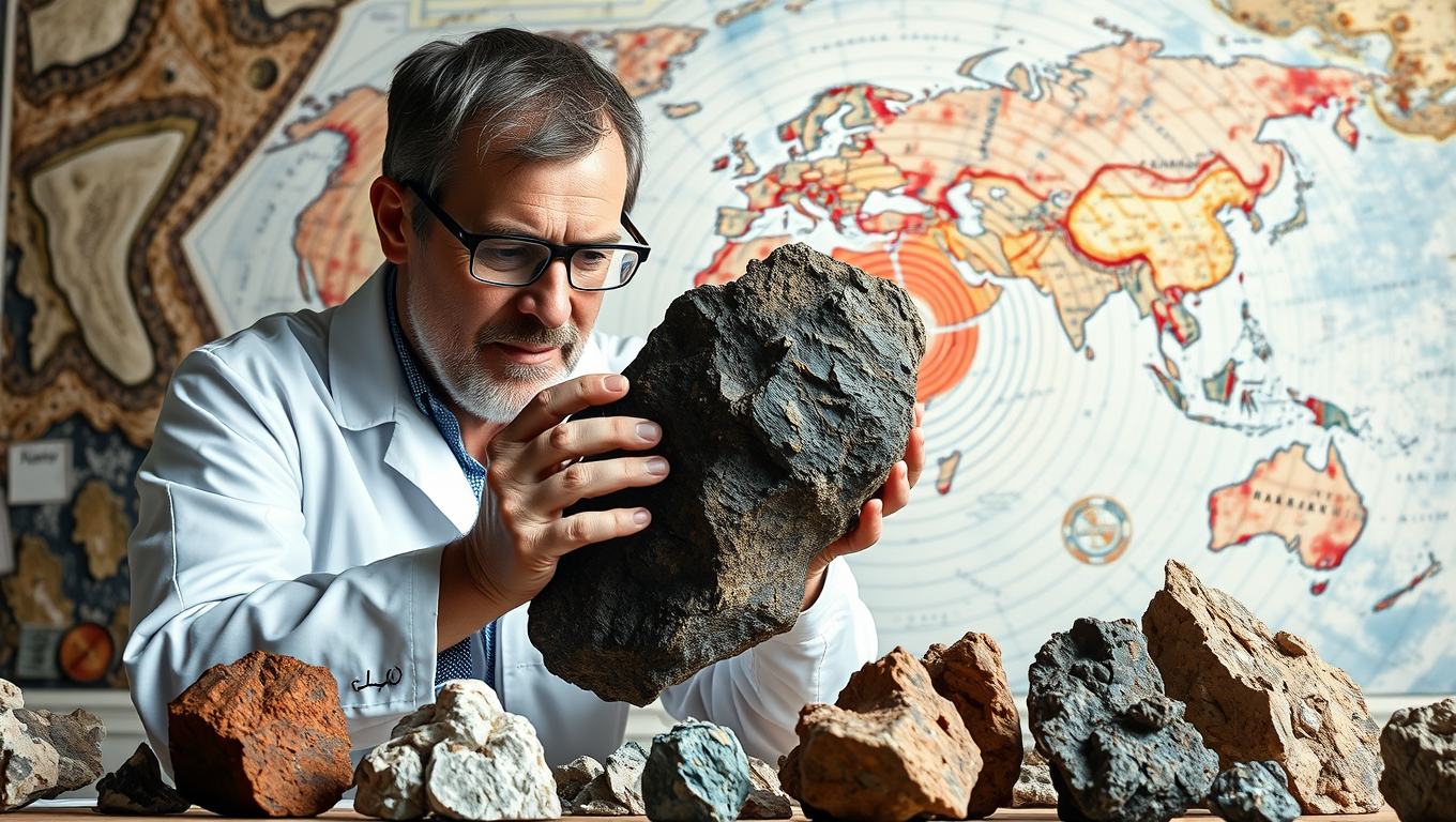
To uncover the hidden link between the Earth’s core and life-sustaining oxygen, scientists have analyzed magnetized minerals that record the history of the magnetic field. These minerals, formed when hot materials rise with magma at gaps between tectonic plates, retain a record of the surrounding magnetic field as long as they are not reheated too severely. By studying these ancient rocks and minerals, researchers can deduce historic oxygen levels based on their chemical contents.

The databases compiled by geophysicists and geochemists have provided valuable information on both the Earth’s magnetic field and oxygen levels over comparable ranges. Until now, no scientists had made a detailed comparison of the records. The findings of this study suggest that the two datasets are remarkably similar, with the planetary magnetic field following similar rising and falling patterns as oxygen in the atmosphere for nearly half a billion years.

The implications of this discovery are profound, suggesting that complex life on Earth might be connected to the interior processes of the planet. Coauthor Weijia Kuang said, “Earth is the only known planet that supports complex life. The correlations we’ve found could help us understand how life evolves and how it’s connected to the interior processes of the planet.”

Further research aims to examine longer datasets to see if the correlation extends farther back in time. The study also plans to investigate the historic abundance of other chemicals essential for life, such as nitrogen. As for the specific causes linking the Earth’s deep interior to life on the surface, scientist Kopparapu said, “There’s more work to be done to figure that out.”

Continue Reading

Climate

A 123,000-Year-Old Warning: Coral Fossils Reveal Rapid Sea-Level Rise Ahead

Ancient coral fossils from the remote Seychelles islands have unveiled a dramatic warning for our future—sea levels can rise in sudden, sharp bursts even when global temperatures stay steady.

Avatar photo

Published

on

A groundbreaking discovery from fossilized corals in the Indian Ocean’s Seychelles islands is sending shockwaves through the scientific community. The findings suggest that sea levels could rise even more steeply than previously thought, posing a significant threat to coastal communities worldwide.

Researchers led by University of Wisconsin-Madison Professor Andrea Dutton and her team at the University of Florida analyzed fossilized corals from various elevations on the islands. By dating the fossils and examining the sediments around them, they gathered crucial insights into past sea levels. The results, published in Science Advances, confirm that global peak sea levels occurred between 122 and 123,000 years ago – a period known as the Last Interglacial.

During this time, global temperatures were remarkably similar to those of today. However, the researchers discovered three distinct periods of sudden and sharp sea-level rise over the 6,000 years leading up to peak sea levels. These abrupt pulses of sea-level rise were punctuated by periods of falling seas, pointing to times when polar ice sheets in Greenland and Antarctica were changing rapidly.

“This is not good news for us as we head into the future,” says Dutton. “The potential for this very rapid, dynamic change in both ice sheet volume and sea level change is hugely important for coastal planners, policy makers, and those in the business of risk management.”

One of these sharp pulses of sea-level rise occurred at about the same time that the last remnants of a massive ice sheet in North America were likely collapsing. While there’s no large North American ice sheet today, Dutton says this finding has important implications for understanding the dynamics of other present-day ice sheets.

The researchers made another sobering observation: One of the sea-level rises they identified occurred at about the same time that the last remnants of a massive ice sheet in North America were likely collapsing. While there’s no large North American ice sheet today, Dutton says this finding has important implications for understanding the dynamics of other present-day ice sheets.

The study suggests that sea levels could rise up to 10 meters globally, just based on the amount of warming that has already occurred. However, Dutton emphasizes that society can blunt the impact of climate change on sea levels by reducing greenhouse gas emissions and implementing policies to mitigate its effects.

“We could be looking at upward of 10 meters of global average sea-level rise in the future,” she says. “The more we do to draw down our greenhouse gas emissions, and the faster we do so, could prevent the worst scenarios from becoming our lived reality.”

Continue Reading

Trending