While we try to keep things accurate, this content is part of an ongoing experiment and may not always be reliable.
Please double-check important details — we’re not responsible for how the information is used.
Disaster Plan
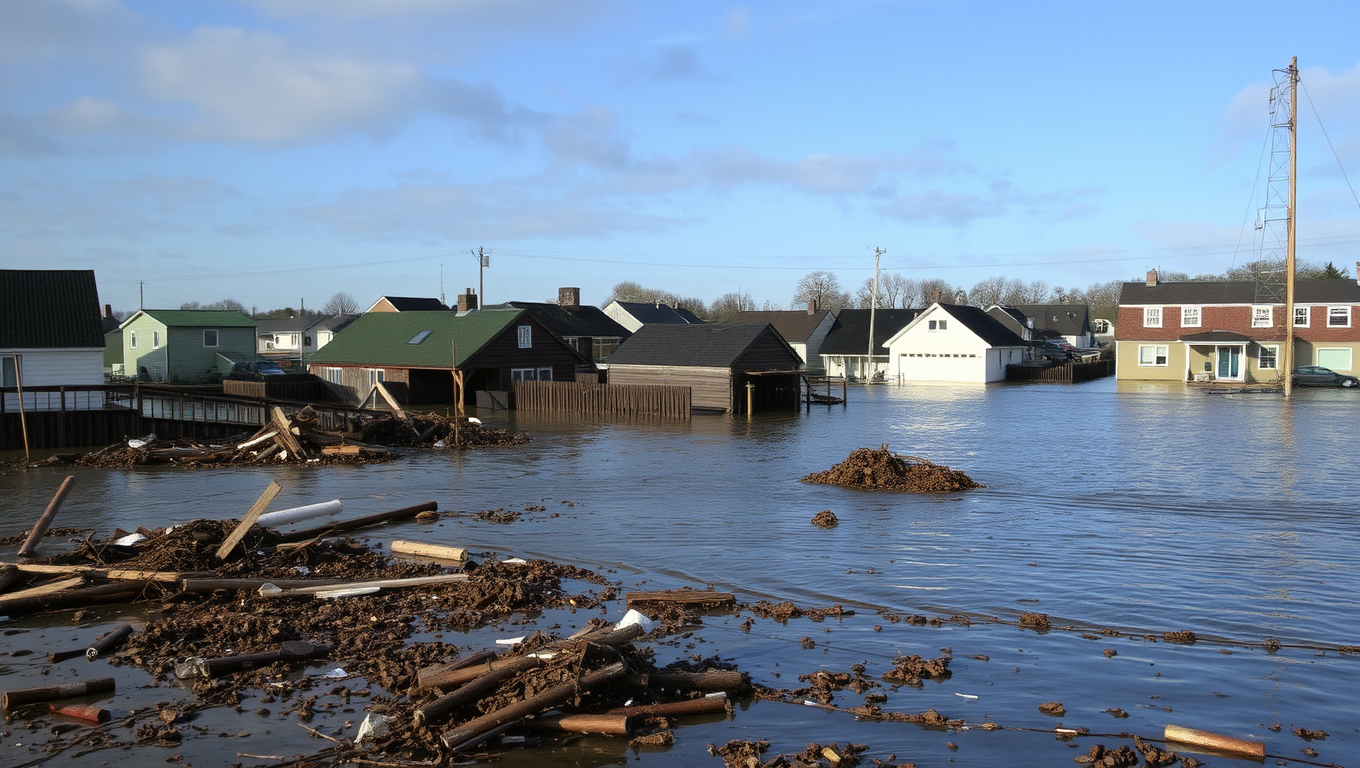
Coastal Flooding on the Rise: Study Reveals Frequency and Duration of Floods are Greater Than Estimated
Flooding in coastal communities is happening far more often than previously thought, according to a new study. The study also found major flaws with the widely used approach of using marine water level data to capture instances of flooding.


Alternative Medicine
Heavy Drinking Tied to Higher Risk of Unwanted Pregnancy, While Cannabis Use Not Found to Increase Risk
Women who drank heavily, even though they strongly wished to avoid pregnancy, were 50% more likely to become pregnant than those who drank little or not at all, according to new research. Surprisingly, cannabis use didn t show the same risk.

Disaster Plan
“Unraveling Ancient Secrets: Indian DNA Holds Clues to Neanderthal Genome”
India’s complex ancestry—intertwined with Iranian farmers, Steppe herders, and local hunter-gatherers—has now been decoded through genomic data from 2,762 people. The study uncovers surprising levels of Neanderthal and Denisovan DNA, and how ancient migrations and community traditions have shaped today’s genetic diversity and disease risks.

Climate
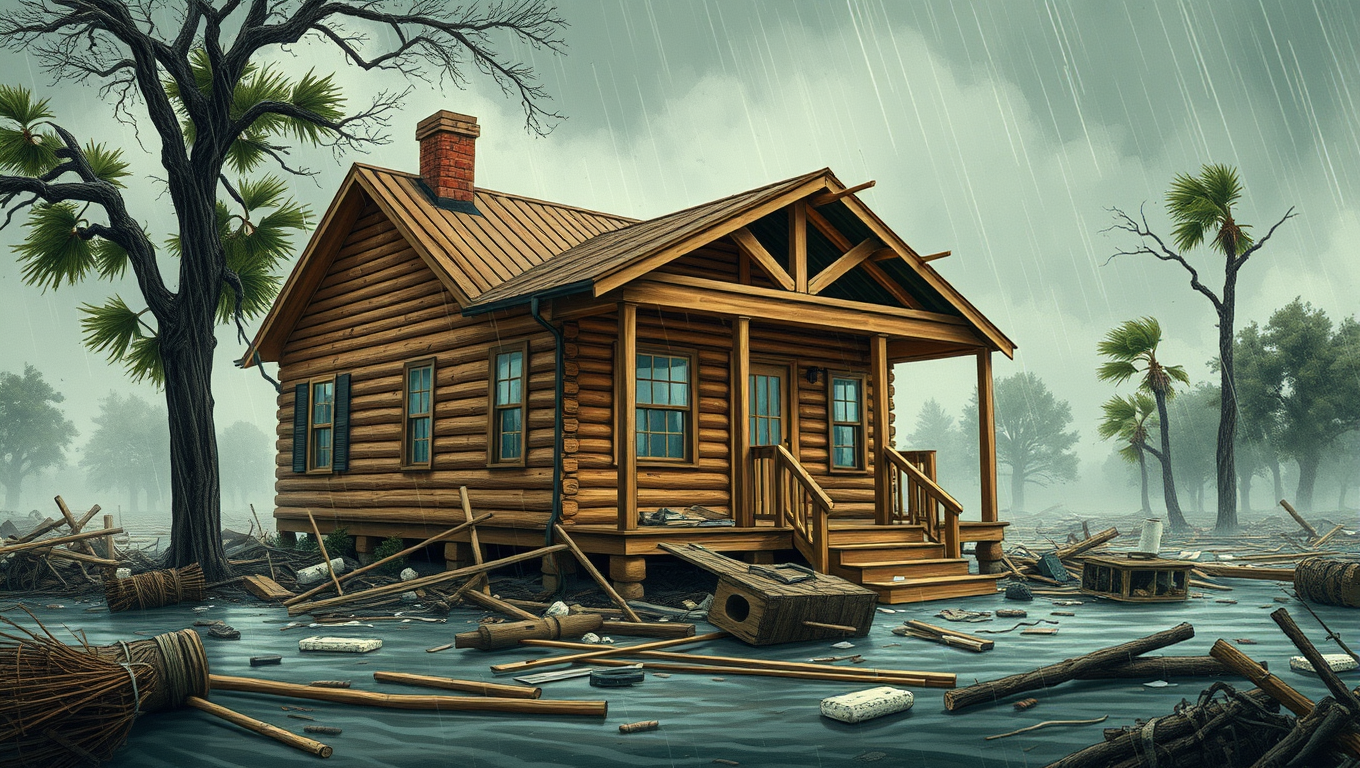
Hurricane Woes: Southeastern U.S. Homeowners Face 76% Higher Wind-Related Losses by 2060
Hurricane winds are a major contributor to storm-related losses for people living in the southeastern coastal states. As the global temperature continues to rise, scientists predict that hurricanes will get more destructive — packing higher winds and torrential rainfall. A new study projects that wind losses for homeowners in the Southeastern coastal states could be 76 percent higher by the year 2060 and 102 percent higher by 2100.

A New Horizon for Vision: How Gold Nanoparticles May Restore People’s Sight

Retiring Abroad Can Be Lonely Business

Revolutionizing Quantum Communication: Direct Connections Between Multiple Processors
Harnessing Water Waves: A Breakthrough in Controlling Floating Objects

Household Electricity Three Times More Expensive Than Upcoming ‘Eco-Friendly’ Aviation E-Fuels, Study Reveals

“Unveiling Hidden Patterns: A New Twist on Interference Phenomena”
Reducing Falls Among Elderly Women with Polypharmacy through Exercise Intervention
-
 Detectors1 year ago
A New Horizon for Vision: How Gold Nanoparticles May Restore People’s Sight
-
Earth & Climate1 year ago
Retiring Abroad Can Be Lonely Business
-
Cancer1 year ago
Revolutionizing Quantum Communication: Direct Connections Between Multiple Processors
-
Albert Einstein1 year ago
Harnessing Water Waves: A Breakthrough in Controlling Floating Objects
-
Earth & Climate1 year ago
Household Electricity Three Times More Expensive Than Upcoming ‘Eco-Friendly’ Aviation E-Fuels, Study Reveals
-
Chemistry1 year ago
“Unveiling Hidden Patterns: A New Twist on Interference Phenomena”
-
Diseases and Conditions1 year ago
Reducing Falls Among Elderly Women with Polypharmacy through Exercise Intervention
-
Acid Rain1 year ago
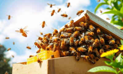
“Revolutionizing Honey Bee Survival: A New Pollen-Replacing Food Source Brings Hope for the Future”