Connect with us
We’re experimenting with AI-generated content to help deliver information faster and more efficiently.
While we try to keep things accurate, this content is part of an ongoing experiment and may not always be reliable.
Please double-check important details — we’re not responsible for how the information is used.

Earth & Climate

Scientists Reveal Alaska Could Get Up to Two Minutes’ Warning Before Next Big Quake

A new study suggests Alaska could get 10–120 seconds of warning before major quakes, with more seismic stations adding up to 15 extra seconds. Researchers emphasize challenges like harsh winters, remote sites, and alert transmission delays, but say the benefits could be lifesaving.
Avatar photo

Published

on

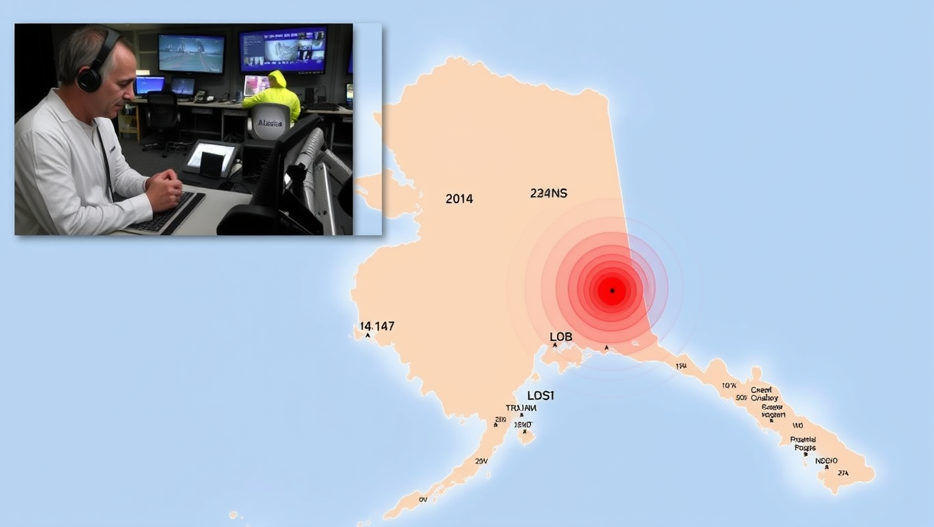
Alaska’s vast and rugged landscape is home to tens of thousands of earthquakes each year, some of which have been among the world’s largest and most destructive. A new study suggests that an earthquake early warning (EEW) system could provide critical minutes’ notice before a massive quake hits, helping residents and emergency responders prepare for potential disasters.

Researchers Alexander Fozkos and Michael West from the University of Alaska Fairbanks conducted a comprehensive analysis of various earthquake scenarios in Alaska. They found that increasing the density and improving the spacing of seismic stations around the state could add up to 15 seconds to estimated warning times. For earthquakes along well-known faults in southcentral and southeast coastal Alaska, Fozkos and West estimated potential warning times ranging from 10 to 120 seconds for magnitude 8.3 scenarios.

The study’s findings, published in the Bulletin of the Seismological Society of America, could help lay the groundwork for expanding the U.S. ShakeAlert earthquake early warning system, which currently covers California, Oregon, and Washington State. Fozkos stated that there were similar studies on the West Coast before EEW became widely available, so they aimed to provide Alaska-specific science with numbers.

For magnitude 7.3 earthquake scenarios in crustal faults in interior and southcentral Alaska, researchers estimated potential warning times ranging from 0 to 44 seconds. In contrast, for a set of magnitude 7.8 earthquake scenarios along the dip of the subducting slab beneath Alaska, estimated warning times ranged from 0 to 73 seconds.

Fozkos expressed surprise at finding decent warning times for shallow crustal events, which he expected would have minimal warning time. The researchers’ models estimated how many seconds after an earthquake’s origin the quake could be detected, how many seconds after origin time an alert could be available, and minimum and maximum warning times at a location.

The study used peak ground motion instead of the initial S-wave to define warning times, as strong shaking can arrive tens of seconds after the initial S-wave in large earthquakes. Fozkos noted that the potential lag time in transmitting data and sharing an alert with the public “could be a big challenge for Alaska” but didn’t think it would be insurmountable.

The harsh Alaskan winters and wilderness locations of some seismic stations could also pose challenges for an early warning system, particularly if stations go down and can’t be repaired quickly. Fozkos suggested that adding stations to cover redundancy for remote stations would be beneficial. Ocean-bottom seismometers (OBS) and more earthquake detection via distributed acoustic sensing or DAS were also mentioned as welcome additions to a warning system.

Ultimately, the study’s findings could help inform the development of an EEW system in Alaska, potentially providing critical minutes’ notice before massive quakes hit, saving lives and reducing damage.

Climate

332 Colossal Canyons Just Revealed Beneath Antarctica’s Ice

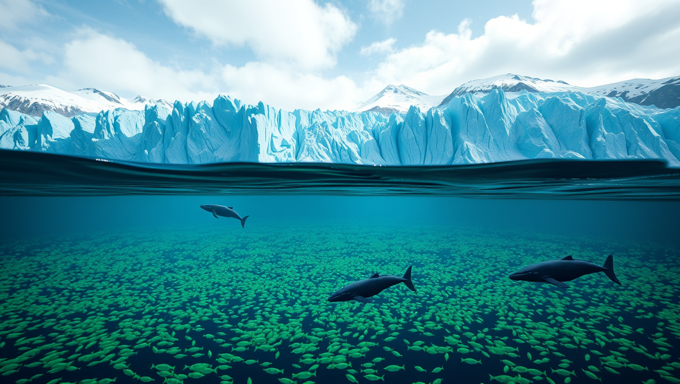
Deep beneath the Antarctic seas lies a hidden network of 332 colossal submarine canyons, some plunging over 4,000 meters, revealed in unprecedented detail by new high-resolution mapping. These underwater valleys, shaped by glacial forces and powerful sediment flows, play a vital role in transporting nutrients, driving ocean currents, and influencing global climate. Striking differences between East and West Antarctica’s canyon systems offer clues to the continent’s ancient ice history, while also exposing vulnerabilities as warm waters carve away at protective ice shelves.

Avatar photo

Published

on

The discovery of 332 colossal submarine canyons beneath Antarctica’s ice has shed new light on the mysteries of our planet’s ocean floors. A recent article published in Marine Geology has brought together the most detailed catalogue to date of Antarctic submarine canyons, identifying a total of 332 canyon networks that reach depths of over 4,000 meters. This find is five times as many canyons as previous studies had identified.

The catalogue was produced by researchers David Amblàs and Riccardo Arosio from the University of Barcelona and University College Cork respectively. Their study shows that Antarctic submarine canyons may have a more significant impact than previously thought on ocean circulation, ice-shelf thinning, and global climate change, especially in vulnerable areas such as the Amundsen Sea and parts of East Antarctica.

Submarine canyons are valleys carved into the seafloor that play a decisive role in ocean dynamics. They transport sediments and nutrients from the coast to deeper areas, connect shallow and deep waters, and create habitats rich in biodiversity. Despite their ecological, oceanographic, and geological value, submarine canyons remain underexplored, especially in polar regions.

The Antarctic canyons resemble those in other parts of the world but tend to be larger and deeper due to the prolonged action of polar ice and immense volumes of sediment transported by glaciers to the continental shelf. The steep slopes of the submarine terrain combined with the abundance of glacial sediments amplifies the effects of turbidity currents, which carry suspended sediments downslope at high speed, eroding the valleys they flow through.

The new study uses Version 2 of the International Bathymetric Chart of the Southern Ocean (IBCSO v2), the most complete and detailed map of the seafloor in this region. It describes 15 morphometric parameters that reveal striking differences between canyons in East and West Antarctica.

Some of the submarine canyons analyzed reach depths of over 4,000 meters, with the most spectacular being in East Antarctica. These canyons are characterized by complex, branching canyon systems that often begin with multiple canyon heads near the edge of the continental shelf and converge into a single main channel that descends into the deep ocean.

In contrast, West Antarctic canyons are shorter and steeper, with V-shaped cross sections. This morphological difference supports the idea that the East Antarctica Ice Sheet originated earlier and has experienced a more prolonged development.

The study also highlights the importance of submarine canyons in facilitating water exchange between the deep ocean and the continental shelf. They allow cold, dense water formed near ice shelves to flow into the deep ocean and form Antarctic Bottom Water, which plays a fundamental role in ocean circulation and global climate.

Additionally, these canyons channel warmer waters such as Circumpolar Deep Water from the open sea toward the coastline. This process drives the basal melting and thinning of floating ice shelves, which are critical for maintaining the stability of Antarctica’s interior glaciers.

The study emphasizes that current ocean circulation models do not accurately reproduce the physical processes that occur at local scales between water masses and complex topographies like canyons. These processes include current channeling, vertical mixing, and deep-water ventilation, which are essential for the formation and transformation of cold, dense water masses like Antarctic Bottom Water.

The researchers conclude that further gathering of high-resolution bathymetric data in unmapped areas, observational data both in situ and via remote sensors, and improvement of climate models will be necessary to better represent these processes and increase the reliability of projections on climate change impacts.

Continue Reading

Earth & Climate

“Carving the Landscape: Scientists Reveal the Speed of Glaciers’ Erosive Power”

Scientists used machine learning to reveal how glaciers erode the land at varying speeds, shaped by climate, geology, and heat. The findings help guide global planning from environmental management to nuclear waste storage.

Avatar photo

Published

on

Scientists have long known that glaciers are capable of shaping the Earth’s surface through erosion, but until now, the exact speed at which this process occurs has been unclear. A recent study published in Nature Geoscience provides a comprehensive view of how fast glaciers carve the landscape, offering estimates for more than 180,000 glaciers worldwide.

The research team, led by University of Victoria geographer Sophie Norris, used machine learning-based global analysis to predict glacial erosion rates for 85% of modern glaciers. Their findings suggest that 99% of glaciers erode at a rate between 0.02 and 2.68 millimeters per year – roughly the width of a credit card.

The conditions that lead to erosion underneath glaciers are more complex than previously thought, according to Norris. Temperature, water flow under the glacier, rock type, and geothermal heat all play significant roles in shaping the landscape. Understanding these factors is crucial for managing landscapes, monitoring sediment and nutrient movement, and even storing nuclear waste safely.

The study’s findings have far-reaching implications, not only for scientists but also for policymakers and communities worldwide. As Norris notes, “Given the extreme difficulty in measuring glacial erosion in active glacial settings, this study provides us with estimates of this process for remote locations worldwide.”

This research was a collaborative effort involving multiple universities and institutions, including Dalhousie University, the University of Grenoble Alpes, Dartmouth College, Pennsylvania State University, and the University of California Irvine. The Canadian Nuclear Waste Management Organization provided financial support for the project.

As we continue to navigate the complexities of climate change, understanding the slow but persistent power of glaciers is essential. This study serves as a vital reminder of the importance of interdisciplinary research and collaboration in addressing some of humanity’s most pressing challenges.

Continue Reading

Cultures

Uncovering Ancient Secrets: Three Worlds Frozen in Time beneath Illinois for 300 Million Years

Over 300 million years ago, Illinois teemed with life in tropical swamps and seas, now preserved at the famous Mazon Creek fossil site. Researchers from the University of Missouri and geologist Gordon Baird have reexamined a vast fossil collection, uncovering three distinct ancient environments—freshwater, transitional marine, and offshore—each with unique animal life. Their findings, enhanced by advanced imaging and data analysis, reveal how sea-level changes, sediment conditions, and microbial activity shaped fossil formation.

Avatar photo

Published

on

The state of Illinois may seem like an unlikely place to uncover secrets from 300 million years ago. However, beneath its surface lies a treasure trove of ancient fossils, waiting to be rediscovered. Researchers at the University of Missouri’s College of Arts and Science have been collaborating with geologist Gordon Baird to reanalyze his massive fossil collection from Mazon Creek, which includes over 300,000 siderite concretions from around 350 different localities.

This remarkable site has provided an extraordinary view of life along that ancient coast during the Carboniferous Period. The unique geological setting, where lush tropical swamps and shallow seas met, allowed for exceptional preservation of both plants and animals. This was made possible by the siderite concretions, which encased the fossils, forming a treasure trove for scientists and fossil enthusiasts alike.

Thanks to decades of research at Mazon Creek, including foundational fieldwork by Baird and colleagues in the late 1970s, we now have an understanding of two major faunal assemblages. These were originally identified as a marine assemblage comprised of life in offshore coastal waters, and a mixed assemblage from a river delta along the shoreline, where freshwater organisms and washed-in terrestrial plants and animals were preserved together.

However, Mizzou’s team has confirmed a slightly more nuanced view of Baird’s original findings. Using modern data analysis techniques coupled with advanced imaging at Mizzou’s X-ray Microanalysis Core, they have identified three readily identifiable paleoenvironments. These included the unique characteristics of a benthic marine assemblage representing a transitional habitat between the nearshore and offshore zones.

This discovery highlights the complexity of ancient ecosystems during the Carboniferous Period. The different environments affected how quickly and deeply organisms were buried, and in what specific geochemical conditions fossilization may have started. This, in turn, shaped where certain microbes lived and helped form the minerals that make up the concretions surrounding these fossils today.

In current and future research, Schiffbauer and Baird are using this information to create a sedimentological model. This will show how the Mazon Creek ecosystem connects to the Colchester coal layers below – where coal mining led to the fossil site’s original discovery.

This knowledge contributes significantly to our understanding of the Carboniferous Period’s biodiversity and paleoecology. It offers a real snapshot of the incredible diversity present in the late Carboniferous Period and allows for inferences about the complexity of food chains and how this ecosystem functioned.

The study, “283,821 concretions, how do you measure the Mazon Creek? Assessing the paleoenvironmental and taphonomic nature of the Braidwood and Essex assemblages,” was published in the journal Paleobiology.

Continue Reading

Trending