Connect with us

Climate

Climate and Health Litigation Mounting in Australia as Exposure to Heatwaves Grows

Australia has experienced a 37 per cent rise in dangerous heat exposure over the past two decades, while becoming the world’s second-highest hotspot for climate litigation, a new report reveals.
Avatar photo

Published

on

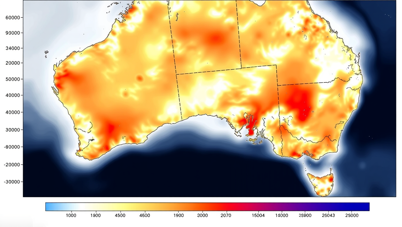
Australia has emerged as a global hotspot for climate change litigation, according to the latest MJA-Lancet Countdown report. The country has experienced a 37 per cent increase in excess heat factor over the past 20 years, making it increasingly crucial to track long-term climate hazards and exposures.

The report highlights a significant rise in health-damaging heat events since the 1970s, with courts closely examining evidence about how climate change affects people’s health, especially for vulnerable groups. In Australia, health was raised as an issue in eleven climate cases between 2014 and 2023.

The analysis also identifies key deficiencies in Australia’s response to climate and health threats, including a 17 per cent drop in the number of volunteer firefighters over just seven years, which undermines the country’s capacity to respond to bushfires. Additionally, the continued dominance of fossil fuels in Australia’s energy supply contributes to climate risks.

However, there are areas of progress. The Australian Government has completed the first National Climate Risk Assessment, which included health and social support as one of eleven priority risks. Renewable energy now provides almost 40 per cent of Australia’s electricity, with growth in both large-scale and small-scale generation and storage.

The sale of electric vehicles reached an all-time high in 2023, accounting for 8.47 per cent of all new vehicle sales. While Australia had a reprieve from major catastrophic climate events in 2023, New Zealand experienced Cyclone Gabrielle and unprecedented floods.

The next five years are pivotal for reducing greenhouse gas emissions and transitioning to renewable energy. The MJA-Lancet Countdown report represents the work of 25 experts from 15 institutions across Australia, New Zealand, the United Kingdom, and the USA, in a multidisciplinary collaboration across climate science, public health, energy policy, economics, and environmental research.

In future reports, the authors plan to introduce indicators on Aboriginal and Torres Strait Islander health and climate change, as well as mental health impacts of climate change. The report emphasizes that Australia and New Zealand can learn from each other’s policy and health system responses in addressing the shared challenges posed by climate change.

Climate

Unraveling the Secrets of Faults: How Wide Are They, Really?

Researchers posed a seemingly simple question: how wide are faults?

Avatar photo

Published

on

The Seismological Society of America’s Annual Meeting recently saw researchers Christie Rowe and Alex Hatem pose an intriguing question: how wide are faults? To answer this seemingly simple query, they delved into data compiled from single earthquakes across the world.

Their findings suggested that it’s not just a single strand of a fault involved in an earthquake but rather a branching network of fault strands. This means that significant parts of the broad array of fractures that develops over many earthquakes can be activated in a single earthquake. Rowe noted that this width sometimes roughly corresponds to the width of Alquist-Priolo zones established for safe building in California.

The researchers also found that the width of creep zones at these earthquakes are much narrower, both near the surface and 10-25 kilometers deep in the earth. The creep zones, between 2 and 10 meters wide, may be the most localized behavior a fault does.

Rowe emphasized the importance of thinking of faults in a more three-dimensional manner. As a geologist, it’s always been a cognitive disconnect for her when talking to earthquake modelers who have these two-dimensional features that they model earthquakes on. The sheer resistance, strength or friction comes from a volume of rock that’s deforming during an earthquake or in between earthquakes.

The study used a variety of data, including rupture maps, creeping zone width from surveys of slowly shifting monuments along faults and satellite observations, the locations of earthquake aftershocks, low velocity damage zone widths, and the zones delineated by certain types of rock such as pseudotachylyte, ultramylonite and mylonite that are a signature of creep and deformation.

The findings have implications for how scientists study past earthquakes to calculate earthquake recurrence intervals on faults. Slip rates and recurrence intervals can be constrained using localized measurements, but it can be difficult to disentangle the slip that occurred during an earthquake and aseismic slip that occurred after the event. The 2014 Napa, California earthquake is a good example of this phenomenon.

However, if the Napa earthquake occurred thousands of years ago and researchers came across its traces in the rock record, you would just see a bigger earthquake. You might lump all of that slip as a single event. But creep isn’t always accounted for in calculating recurrence intervals, so finding out that creep zones are quite narrow means that we should be aware that we could be convolving creep with seismic slip when we look at those paleoseismic records.

Continue Reading

Behavioral Science

Early Detection of Wood Coating Deterioration: A Data-Driven Approach to Sustainable Building Maintenance

From the Japanese cypress to the ponderosa pine, wood has been used in construction for millennia. Though materials like steel and concrete have largely taken over large building construction, wood is making a comeback, increasingly being used in public and multi-story buildings for its environmental benefits. Of course, wood has often been passed over in favor of other materials because it is easily damaged by sunlight and moisture when used outdoors. Wood coatings have been designed to protect wood surfaces for this reason, but coating damage often starts before it becomes visible. Once the deterioration can be seen with the naked eye, it is already too late. To solve this problem, a team of researchers is working to create a simple but effective method of diagnosing this nearly invisible deterioration before the damage becomes irreparable.

Avatar photo

Published

on

The use of wood in construction has been a staple for millennia, from the majestic Japanese cypress to the sturdy ponderosa pine. Despite its environmental benefits, wood’s susceptibility to damage from sunlight and moisture often pushed it aside in favor of steel and concrete. However, with the growing interest in sustainable building practices, wood is making a comeback.

To overcome the challenges associated with wooden structures, researchers at Kyoto University have developed a groundbreaking method for detecting early signs of coating deterioration. This simple yet effective approach combines mid-infrared spectroscopy with machine learning to predict the extent of degradation before it becomes visible.

The team’s innovative technique uses partial least square regression and genetic algorithms to identify subtle chemical changes in wood coatings. These slight alterations, often too small to detect visually, can be accurately captured by infrared spectroscopy and predicted by the model. This enables researchers to diagnose early coating deterioration with high accuracy, reducing the need for costly visual inspections and preventing further decay.

By integrating chemistry and data-driven modeling techniques, this research demonstrates how traditional craftsmanship and modern data science can work together to support smarter maintenance of sustainable buildings. As Teramoto notes, “We hope this technology will help bridge the gap between traditional craftsmanship and modern data science.”

The researchers are now conducting tests on real wooden buildings, with plans to improve their model for application in new paint and coating product development. Beyond wood, this method may also be applied to materials like concrete or metal, unlocking new possibilities for diagnosing early material failure and improving sustainability across various industries.

Continue Reading

Botany

California’s Hidden Giants: A New Record for the State’s Highest Tree

A professor’s casual hike in the High Sierra turned into a new elevation record for California’s highest tree, the Jeffrey pine, which wasn’t formerly known to grow at extreme elevations.

Avatar photo

Published

on

California’s High Sierra is home to some of the most stunning natural wonders on the planet. Among these breathtaking landscapes, a new record for California’s highest tree has been discovered – a majestic Jeffrey pine standing tall at 12,657 feet elevation in Sequoia National Park.

Professor Hugh Safford, a forest ecologist from UC Davis, made this serendipitous finding while hiking in the High Sierra. As he paused to admire a foxtail pine and a lodgepole pine, he stumbled upon the Jeffrey pine, which seemed out of place due to its high elevation. “I walk over, and it’s a Jeffrey pine! It made no sense. What is a Jeffrey pine doing above 11,500 feet?” Safford exclaimed.

The Jeffrey pine grows in upper montane areas throughout the Sierra Nevada, but it is not typically found at such extreme high elevations. Yet, Safford recorded Jeffrey pines as high as 12,657 feet elevation – 1,860 feet higher than the highest on record and even higher than lodgepole, limber, and foxtail pines.

This discovery signifies a changing climate amid California’s highest peaks. As snow melts earlier and air temperatures rise, Jeffrey pine seeds are germinating on land that previously found frozen and inhospitable. The Clark’s nutcracker – a bird known for its high-altitude gardening skills – is suspected to be the primary seed disperser, carrying fleshy Jeffrey pine seeds up the mountain from thousands of feet below.

Safford’s work indicates that other species are growing higher than commonly used databases suggest. This finding has significant implications for our understanding of climate change impacts on high-altitude ecosystems. Species attempting to stay ahead of climate changes by moving uphill are doing so far too slowly to keep pace, climate modeling literature suggests. Yet the models do not account for the role of seed dispersals by birds and other species amid shifting windows of ecological opportunity.

The discovery underscores a need for scientists to couple powerful technologies with direct observation. The trees Safford encountered were not detected by any available database, artificial intelligence platform, satellite or remote sensing technology. “People aren’t marching to the tops of the mountains to see where the trees really are,” Safford said. “Instead, they are relying on satellite imagery, which can’t see most small trees.”

This summer, Safford and his students will be out there, hiking along Mount Whitney, Mount Kaweah, and Sequoia-Kings Canyon National Parks, identifying seedlings, measuring and identifying trees, and helping to develop models of accurate elevations to better understand the changing landscape of the High Sierra.

Continue Reading

Trending