Connect with us

Earth & Climate

Early Insights: Scientists Share Findings on Devastating Myanmar Earthquake

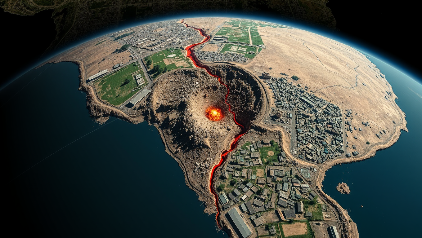
The 28 March magnitude 7.7 Mandalay, Burma (Myanmar) earthquake caused widespread and severe damage in Myanmar and neighboring countries such as Thailand, with more than 5,000 casualties now confirmed. At the Seismological Society of America’s Annual Meeting, researchers from around the globe shared early insights into the earthquake’s fault properties, ground shaking and infrastructure damage.
Avatar photo

Published

on

The devastating magnitude 7.7 earthquake that struck Myanmar on March 28 has left a trail of destruction and devastation in its wake. At the recent Annual Meeting of the Seismological Society of America (SSA), researchers from around the world gathered to share their early insights into this catastrophic event.

Myanmar, located at the intersection of the Indian and Eurasia tectonic plates, is prone to significant seismic activity due to the complex collision between these two massive landmasses. The earthquake that hit Myanmar ruptured over 400 kilometers of the Sagaing fault, a major lateral plate boundary fault running through central Myanmar.

“This is one of the largest surface ruptures observed globally,” said USGS researcher Nadine Reitman, highlighting the unprecedented scale of the disaster. The Sagaing fault has a history of producing large earthquakes within the past century, although this magnitude 7 quake was unexpected in an area that hadn’t experienced such a significant event since 1839.

As expected for a strike-slip earthquake, the rupture started slowly before accelerating to “supershear” speed – faster than the speed of sound. This phenomenon has been observed in other large earthquakes and is a testament to the immense energy released during this catastrophic event.

The impact was felt far beyond the epicenter. Severe ground shaking extended over 100 kilometers away from the fault, affecting cities like Mandalay, Sagaing, Nay Pyi Taw, Bago, and Shan State. The Department of Meteorology and Hydrology in Nay Pyi Taw, responsible for Myanmar’s national seismic network, was severely impacted by the shaking.

Researchers have also identified an increase in seismic activity after the earthquake in neighboring countries like Thailand and China, indicating widespread triggering by dynamic stresses from the mainshock.

Studies on local site conditions conducted since 2014 suggest that regions intersected by the rupture experienced Modified Mercalli Intensity values exceeding VIII. This means that shaking caused difficulty standing, could move heavy furniture, and led to damage in structures not designed to withstand earthquakes.

Satellite imagery allowed researchers to develop a comprehensive city-scale map of earthquake effects in Mandalay within days, suggesting their technique can be useful for rapid post-disaster damage assessments. The Myanmar earthquake also marked the first time a large magnitude earthquake was detected using an array of telecommunication submarine cable networks turned into seismic sensors.

The findings presented at the SSA meeting provide valuable insights into this devastating event and will help inform future disaster preparedness efforts in Myanmar and surrounding regions.

Air Pollution

Global Urban Environmental Quality: Mapping Air Pollution and CO2 Emissions Across 13,000 Cities Worldwide

In a sweeping new study of more than 13,000 urban areas worldwide, researchers have mapped air pollution levels and carbon dioxide emissions, providing comprehensive global analysis of urban environmental quality.

Avatar photo

Published

on

The study, led by George Washington University in collaboration with scientists from Washington University in St. Louis and the University of North Carolina at Chapel Hill, has mapped air pollution levels and carbon dioxide emissions across 13,189 urban areas worldwide. This comprehensive global analysis provides a powerful snapshot of how urban environments are evolving across the globe.

The research team used data from satellite observations, ground-based measurements, and computer models to measure city-level air pollution and the average amount of carbon dioxide released into the atmosphere between 2005-2019. According to Susan Anenberg, professor of environmental and occupational health at the GW Milken Institute School of Public Health, “This study shows that progress is possible but uneven, with some cities seeing worsening pollution while others are experiencing cleaner air over time.”

Key findings from the study include:

* More than 50% of cities showed links between all pollutants, suggesting they likely come from the same sources and could be reduced together.
* Urban areas in high-income regions with aggressive environmental policies saw simultaneous declines in all pollutants.
* Cities in regions undergoing rapid population and economic growth, including South Asia and parts of Africa, experienced rising pollution and emissions levels.
* Satellite remote sensing provides an unprecedented opportunity to track pollution levels in all cities worldwide.

The study’s integrated approach offers policymakers, researchers, and climate advocates a valuable new tool for assessing the effectiveness of strategies to reduce pollution. By tracking historical pollutant trends and analyzing correlations across air pollution, nitrogen dioxide, and carbon dioxide emissions, the study offers insights into how urban areas can make progress on both climate and public health goals.

Researchers have also created an interactive map and dashboard to track air pollution in cities worldwide, providing a valuable resource for policymakers, researchers, and climate advocates.

Continue Reading

Climate

The Wealthy Elite’s Carbon Footprint: A Study Reveals the True Extent of Global Warming Since 1990

Wealthy individuals have a higher carbon footprint. A new study quantifies the climate outcomes of these inequalities. It finds that the world’s wealthiest 10% are responsible for two thirds of observed global warming since 1990 and the resulting increases in climate extremes such as heatwaves and droughts.

Avatar photo

Published

on

The study published in Nature Climate Change sheds light on the disproportionate impact of the world’s wealthiest individuals on global warming since 1990. According to the research, the top 10% of the global population is responsible for two-thirds of observed global warming and the resulting increases in climate extremes such as heatwaves and droughts.

The study assesses the contribution of high-emitting groups within societies, finding that the top 1% of the wealthiest individuals globally have a carbon footprint 26 times higher than the global average when it comes to monthly 1-in-100-year heat extremes. This also applies to Amazon droughts, with these emissions being 17 times more detrimental.

Lead author Sarah Schöngart explains, “Our study shows that extreme climate impacts are not just the result of abstract global emissions but can be directly linked to our lifestyle and investment choices, which in turn are linked to wealth.”

Using a novel modeling framework combining economic data and climate simulations, researchers were able to trace emissions from different global income groups. They found that emissions from the wealthiest 10% in the United States and China alone led to a two-to threefold increase in heat extremes across vulnerable regions.

The study’s findings are clear: if everyone had emitted like the bottom 50% of the global population, the world would have seen minimal additional warming since 1990. Coauthor Carl-Friedrich Schleussner emphasizes that addressing this imbalance is crucial for fair and effective climate action.

Moreover, the research highlights the importance of emissions embedded in financial investments rather than just personal consumption. Targeting the financial flows and portfolios of high-income individuals could yield substantial climate benefits.

“This is not an academic discussion – it’s about real impacts of the climate crisis today,” says Schleussner. “Climate action that doesn’t address outsize responsibilities of wealthiest members society risks missing one most powerful levers we have to reduce future harm.”

The authors suggest that their findings could motivate progressive policy instruments targeted at societal elites, noting such policies can foster social acceptance of climate action. Making rich individual polluters pay can also provide much-needed support for adaptation and loss and damage in vulnerable countries.

In conclusion, the study emphasizes the need to rebalance responsibility for climate action in line with actual emissions contributions is essential not just slow global warming but achieve more just resilient world.

Continue Reading

Climate

Climate-Driven Wildfires Wreaking Havoc on US Health and Economy

Scientists say human-caused climate change led to 15,000 additional early deaths from wildfire air pollution in the continental United States during the 15-year period ending in 2020.

Avatar photo

Published

on

Climate change is having a devastating impact on the United States, particularly when it comes to wildfires. A recent study published in Nature Communications Earth & Environment has found that human-caused climate change led to an additional 15,000 deaths from wildfire air pollution in the continental US during the 15-year period ending in 2020.

The study, led by Oregon State University researcher Bev Law, is the first to quantify the number of people dying due to a warming climate causing fires to release increasing amounts of fine particulate matter into the air. This phenomenon, known as PM2.5, can be inhaled deeply into the lungs and even enter the bloodstream, posing serious health risks.

The researchers estimate that during the study period, a total of 164,000 deaths resulted from wildfire PM2.5, with 15,000 of those attributed to climate change. This means that absent climate change, the total would have been 149,000. The average annual death rate from wildfire PM2.5 during this period was 5.14 per 100,000 people, roughly double the US death rate from tropical cyclones like hurricanes.

The economic burden associated with these extra deaths is staggering, estimated at $160 billion. This figure takes into account productivity losses, healthcare costs, and a concept known as value of statistical life, which assigns a monetary value to reduction in mortality risk.

California, Oregon, and Washington bore the greatest economic burden from climate-driven wildfire PM2.5, according to the study. “Without efforts to address climate change,” Law noted, “wildfires and associated fine particulate matter will continue to increase.” The researchers project that by midcentury, relative to the decade ending in 2020, mortality from smoke will rise by at least 50%, with resulting annual damages of $244 billion.

The study highlights the urgent need for action to address climate change and mitigate its impacts on human health. As Law emphasized, exposure to PM2.5 is a known cause of cardiovascular disease and is linked to the onset and worsening of respiratory illness. The ongoing trends of increasing wildfire severity track with climate projections, underscoring how climate change manifestations like earlier snowmelt, intensified heat waves, and drier air have already expanded forest fire extent and accelerated daily fire growth rates.

The research was conducted by an interdisciplinary team from Oregon State University, the University of California, Merced, the US Environmental Protection Agency, the Woodwell Climate Research Center, and Beth Israel Deaconess Medical Center of Harvard Medical School. Their findings serve as a stark reminder of the need for collective action to address the climate crisis and protect public health.

Continue Reading

Trending