While we try to keep things accurate, this content is part of an ongoing experiment and may not always be reliable.
Please double-check important details — we’re not responsible for how the information is used.
Atmosphere
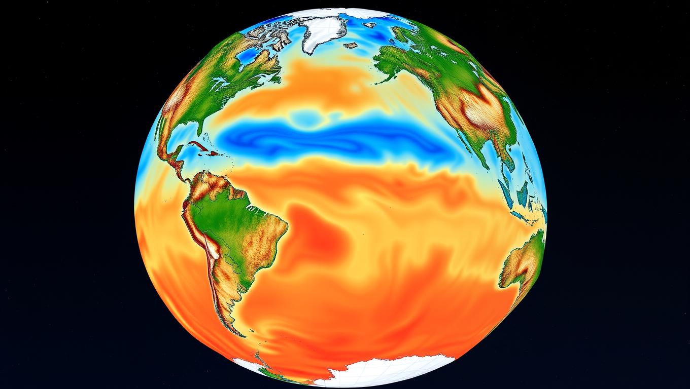
Oceans’ Unusual Heating Patterns Revealed Around the Globe
The world’s oceans are heating faster in two bands stretching around the globe, one in the southern hemisphere and one in the north, according to climate scientists.


Atmosphere
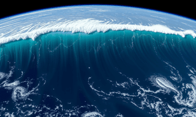
NASA’s SWOT Satellite Captures Kamchatka Megaquake Tsunami in Stunning Detail
When a massive 8.8 magnitude earthquake struck off Russia’s Kamchatka Peninsula, NASA and CNES’s SWOT satellite captured a rare and detailed picture of the tsunami that followed. Recorded just over an hour after the quake, the satellite revealed the wave’s height, shape, and path, offering scientists an unprecedented multidimensional view from space.

Atmosphere
Unpacking America’s Winter Puzzle: How the Stratosphere Shapes Extreme Cold Snaps
Even in a warming climate, brutal cold snaps still hammer parts of the U.S., and a new study uncovers why. High above the Arctic, two distinct polar vortex patterns — both distorted and displaced — play a major role in steering icy air toward different regions. One sends it plunging into the Northwest, while the other aims it at the Central and Eastern U.S. Since 2015, the westward version has been more common, bringing intensified cold to the Northwest in defiance of global warming trends. This stratospheric detective work offers fresh insight into extreme winter weather — and could supercharge long-range forecasts.

Atmosphere
Uncovering the Hidden Link: NASA Discovers Connection Between Earth’s Core and Life-Sustaining Oxygen
For over half a billion years, Earth’s magnetic field has risen and fallen in sync with oxygen levels in the atmosphere, and scientists are finally uncovering why. A NASA-led study reveals a striking link between deep-Earth processes and life at the surface, suggesting that the planet’s churning molten interior could be subtly shaping the conditions for life. By comparing ancient magnetic records with atmospheric data, researchers found that these two seemingly unrelated phenomena have danced together since the Cambrian explosion, when complex life first bloomed. This tantalizing connection hints at a single, hidden mechanism — perhaps even continental drift — orchestrating both magnetic strength and the air we breathe.


A New Horizon for Vision: How Gold Nanoparticles May Restore People’s Sight

Revolutionizing Quantum Communication: Direct Connections Between Multiple Processors

Retiring Abroad Can Be Lonely Business
Harnessing Water Waves: A Breakthrough in Controlling Floating Objects

Household Electricity Three Times More Expensive Than Upcoming ‘Eco-Friendly’ Aviation E-Fuels, Study Reveals

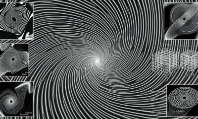
“Unveiling Hidden Patterns: A New Twist on Interference Phenomena”
Reducing Falls Among Elderly Women with Polypharmacy through Exercise Intervention
-
 Detectors1 year ago
A New Horizon for Vision: How Gold Nanoparticles May Restore People’s Sight
-
Cancer1 year ago
Revolutionizing Quantum Communication: Direct Connections Between Multiple Processors
-
Earth & Climate1 year ago
Retiring Abroad Can Be Lonely Business
-
Albert Einstein1 year ago
Harnessing Water Waves: A Breakthrough in Controlling Floating Objects
-
Earth & Climate1 year ago
Household Electricity Three Times More Expensive Than Upcoming ‘Eco-Friendly’ Aviation E-Fuels, Study Reveals
-
Chemistry1 year ago
“Unveiling Hidden Patterns: A New Twist on Interference Phenomena”
-
Diseases and Conditions1 year ago
Reducing Falls Among Elderly Women with Polypharmacy through Exercise Intervention
-
Earth & Climate1 year ago
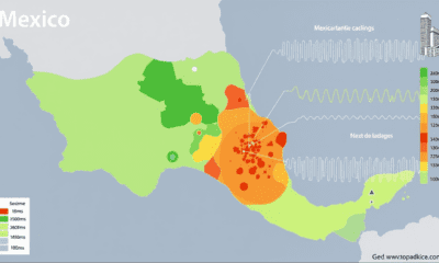
Predicting Damage from Local Earthquakes in Mexico City