
While we try to keep things accurate, this content is part of an ongoing experiment and may not always be reliable.
Please double-check important details — we’re not responsible for how the information is used.
Accident and Trauma
Uncovering Hidden Patterns: Lake Deposits Reveal Directional Shaking During Devastating 1976 Guatemala Earthquake
Sediment cores drawn from four lakes in Guatemala record the distinct direction that ground shaking traveled during a 1976 magnitude 7.5 earthquake that devastated the country, according to researchers.


Accident and Trauma
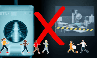
The Silent Threat: Nitazene, a Super Opioid Infiltrating the Street Drug Trade
A powerful new synthetic opioid, up to 1000 times stronger than morphine, has emerged in Adelaide’s street drug supply, and researchers are sounding the alarm. Nitazenes, often hidden in heroin or fentanyl, have already caused dozens of deaths in Australia, with most victims unaware they were exposed. Even more concerning, researchers found the sedative xylazine mixed in, echoing deadly drug combinations seen in the U.S.

Accident and Trauma
“Unveiling the Invisible Killer: PM 1 Pollution Uncovered Across America”
A groundbreaking 25-year analysis using satellite technology has now mapped PM 1 levels across the U.S., uncovering how wildfires, vehicle emissions, and industrial byproducts have shaped the air we breathe. Although regulations have improved air quality over time, rising wildfire activity poses a growing challenge. This new dataset gives scientists and regulators a vital tool for targeting the most harmful pollutants and protecting public health.

Accident and Trauma
Lowered Tackle Height Reduces Head Contacts in Women’s Rugby, Study Finds
Lowering the legal tackle height in women’s rugby is proving effective in reducing head contacts between players, a new study suggests. Changes to the tackle height law in women’s community rugby in Scotland is linked to reductions in head-to-head and head-to shoulder contacts, the study found. The researchers used video analysis to study the impact of the lowered tackle height law which World Rugby, the sport’s governing body, introduced for community rugby in an attempt to improve safety for players.


A New Horizon for Vision: How Gold Nanoparticles May Restore People’s Sight

Retiring Abroad Can Be Lonely Business

Revolutionizing Quantum Communication: Direct Connections Between Multiple Processors
Harnessing Water Waves: A Breakthrough in Controlling Floating Objects

“Unveiling Hidden Patterns: A New Twist on Interference Phenomena”

Household Electricity Three Times More Expensive Than Upcoming ‘Eco-Friendly’ Aviation E-Fuels, Study Reveals

“A Sustainable Solution: Researchers Create Hybrid Cheese with 25% Pea Protein”
-
 Detectors11 months ago
A New Horizon for Vision: How Gold Nanoparticles May Restore People’s Sight
-
Earth & Climate12 months ago
Retiring Abroad Can Be Lonely Business
-
Cancer12 months ago
Revolutionizing Quantum Communication: Direct Connections Between Multiple Processors
-
Albert Einstein1 year ago
Harnessing Water Waves: A Breakthrough in Controlling Floating Objects
-
Chemistry12 months ago
“Unveiling Hidden Patterns: A New Twist on Interference Phenomena”
-
Earth & Climate12 months ago
Household Electricity Three Times More Expensive Than Upcoming ‘Eco-Friendly’ Aviation E-Fuels, Study Reveals
-
Agriculture and Food12 months ago
“A Sustainable Solution: Researchers Create Hybrid Cheese with 25% Pea Protein”
-
Diseases and Conditions1 year ago
Reducing Falls Among Elderly Women with Polypharmacy through Exercise Intervention