While we try to keep things accurate, this content is part of an ongoing experiment and may not always be reliable.
Please double-check important details — we’re not responsible for how the information is used.
Drought Research
Uncovering the Secrets of River Water Temperatures: A Major Discovery in the United States
Scientists have unveiled rapid fluctuations in river water temperature across the United States (US) with rivers controlled by dams showing more frequent and volatile thermal changes.
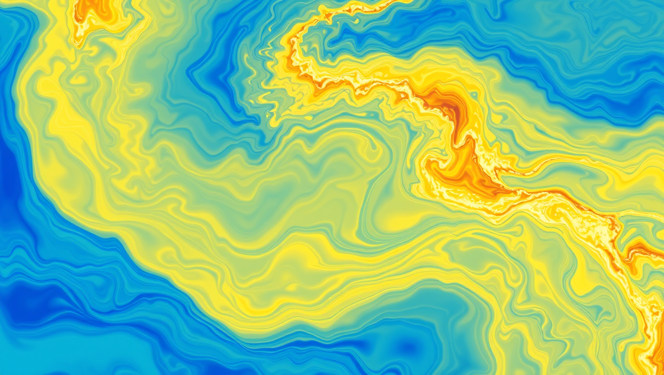


Atmosphere
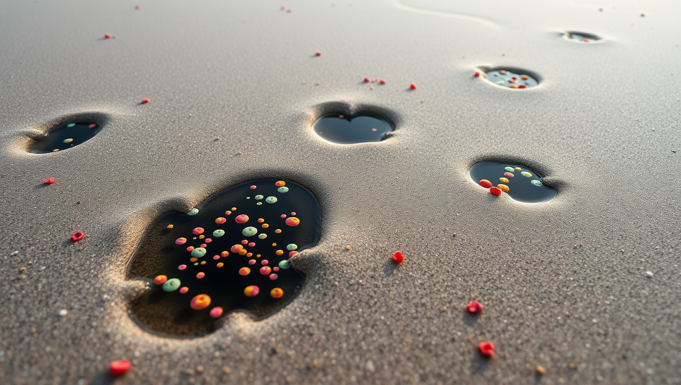
Biofilms Hold Key to Stopping Microplastic Build-up in Rivers and Oceans
Where do microplastics really go after entering the environment? MIT researchers discovered that sticky biofilms naturally produced by bacteria play a surprising role in preventing microplastics from accumulating in riverbeds. Instead of trapping the particles, these biofilms actually keep them loose and exposed, making them easier for flowing water to carry away. This insight could help target cleanup efforts more effectively and identify hidden pollution hotspots.

Drought
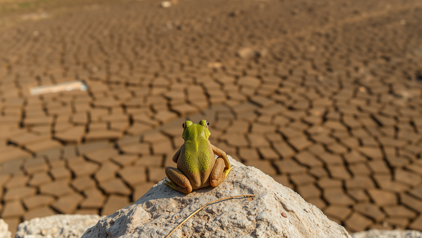
The Double Whammy of Extreme Weather and Habitat Loss on Amphibians
Frogs, salamanders, and other amphibians are not just battling habitat loss and pollution they’re now also contending with increasingly brutal heat waves and droughts. A sweeping 40-year study shows a direct link between the rise in extreme weather events and the growing number of species landing on the endangered list. Europe, the Amazon, and Madagascar have become danger zones, with amphibians unable to adapt quickly enough. But there s hope scientists are calling for focused conservation efforts like habitat restoration and micro-refuges to help these vulnerable creatures survive.
Acid Rain
The Hidden Impact of Anoxic Pockets on Sandy Shores
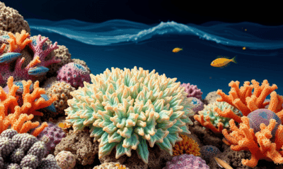
Some microbes living on sand grains use up all the oxygen around them. Their neighbors, left without oxygen, make the best of it: They use nitrate in the surrounding water for denitrification — a process hardly possible when oxygen is present. This denitrification in sandy sediments in well-oxygenated waters can substantially contribute to nitrogen loss in the oceans.

A New Horizon for Vision: How Gold Nanoparticles May Restore People’s Sight

Retiring Abroad Can Be Lonely Business

Revolutionizing Quantum Communication: Direct Connections Between Multiple Processors
Harnessing Water Waves: A Breakthrough in Controlling Floating Objects

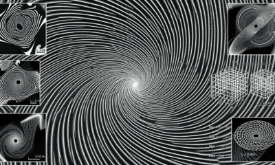
“Unveiling Hidden Patterns: A New Twist on Interference Phenomena”

Household Electricity Three Times More Expensive Than Upcoming ‘Eco-Friendly’ Aviation E-Fuels, Study Reveals
Reducing Falls Among Elderly Women with Polypharmacy through Exercise Intervention
-
 Detectors11 months ago
A New Horizon for Vision: How Gold Nanoparticles May Restore People’s Sight
-
Earth & Climate1 year ago
Retiring Abroad Can Be Lonely Business
-
Cancer12 months ago
Revolutionizing Quantum Communication: Direct Connections Between Multiple Processors
-
Albert Einstein1 year ago
Harnessing Water Waves: A Breakthrough in Controlling Floating Objects
-
Chemistry12 months ago
“Unveiling Hidden Patterns: A New Twist on Interference Phenomena”
-
Earth & Climate12 months ago
Household Electricity Three Times More Expensive Than Upcoming ‘Eco-Friendly’ Aviation E-Fuels, Study Reveals
-
Diseases and Conditions1 year ago
Reducing Falls Among Elderly Women with Polypharmacy through Exercise Intervention
-
Agriculture and Food1 year ago
“A Sustainable Solution: Researchers Create Hybrid Cheese with 25% Pea Protein”