While we try to keep things accurate, this content is part of an ongoing experiment and may not always be reliable.
Please double-check important details — we’re not responsible for how the information is used.
Automotive and Transportation
Staying on Track: How GPS Navigation Helps Older Drivers Maintain Independence
New research shows that Sat Nav systems are helping keep older drivers on the roads for longer. The study reveals that over 65s with a poorer sense of direction rely more on help from GPS navigation systems such as Sat Nav or smartphone maps. Those using GPS tended to drive more frequently — suggesting that the technology helps older people maintain driving independence.


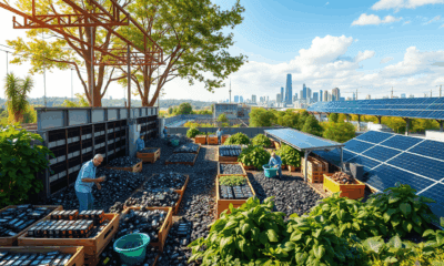


Automotive and Transportation
“Revolutionizing Battery Life: Scientists Uncover Secret to Making Aqueous Batteries Last 10x Longer”
A team at KAUST has revealed that the short lifespan of aqueous batteries is primarily due to “free water” molecules triggering harmful chemical reactions at the anode. By adding affordable sulfate salts like zinc sulfate, they significantly reduced this issue—boosting battery life over tenfold. The sulfate acts as a “water glue,” stabilizing the water structure and halting the energy-wasting reactions. Not only is this solution simple and cost-effective, but early results suggest it may be a universal fix for various types of metal-anode aqueous batteries.

Automotive and Transportation
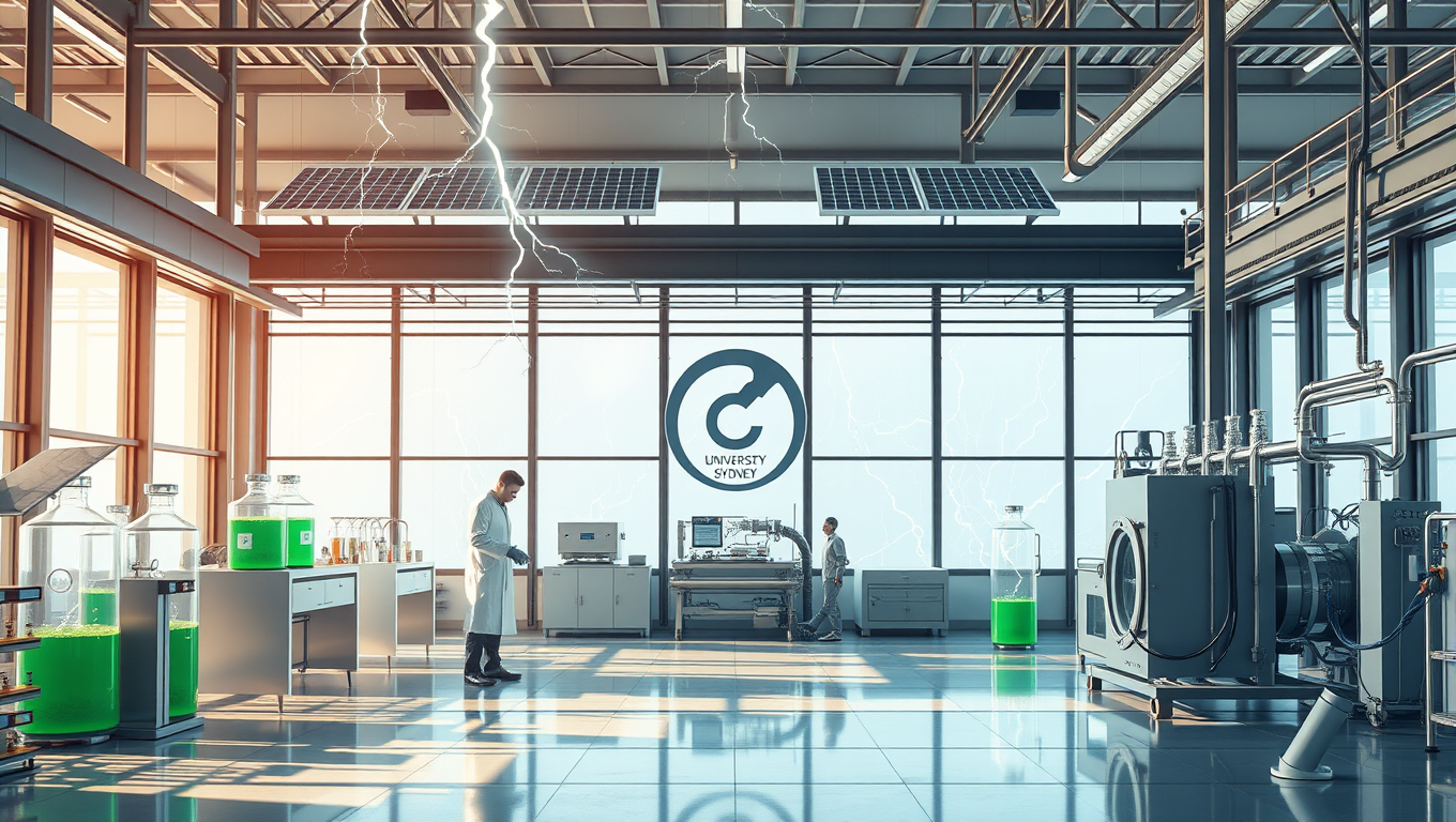
A Breakthrough in Ammonia Production: Harnessing Human-Made Lightning for Sustainable Fertilizers
Australian scientists have discovered a method to produce ammonia—an essential component in fertilizers—using only air and electricity. By mimicking lightning and channeling that energy through a small device, they’ve bypassed the traditional, fossil fuel-heavy method that’s been used for over a century. This breakthrough could lead to cleaner, cheaper fertilizer and even help power the future, offering a potential alternative fuel source for industries like shipping.
Automotive and Transportation
Breakthrough in Green Hydrogen Production: Triple-Layer Catalyst Supercharges Energy Yield by 800%
Researchers in Sweden have developed a powerful new material that dramatically boosts the ability to create hydrogen fuel from water using sunlight, making the process eight times more effective than before. This breakthrough could be key to fueling heavy transport like ships and planes with clean, renewable energy.


A New Horizon for Vision: How Gold Nanoparticles May Restore People’s Sight

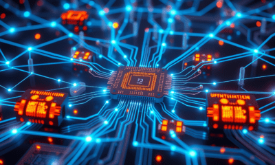
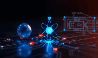
Revolutionizing Quantum Communication: Direct Connections Between Multiple Processors

Retiring Abroad Can Be Lonely Business
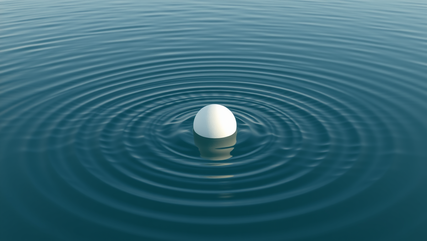
Harnessing Water Waves: A Breakthrough in Controlling Floating Objects

Household Electricity Three Times More Expensive Than Upcoming ‘Eco-Friendly’ Aviation E-Fuels, Study Reveals

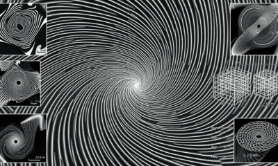
“Unveiling Hidden Patterns: A New Twist on Interference Phenomena”
Reducing Falls Among Elderly Women with Polypharmacy through Exercise Intervention
-
 Detectors1 year ago
A New Horizon for Vision: How Gold Nanoparticles May Restore People’s Sight
-
Cancer1 year ago
Revolutionizing Quantum Communication: Direct Connections Between Multiple Processors
-
Earth & Climate1 year ago
Retiring Abroad Can Be Lonely Business
-
Albert Einstein1 year ago
Harnessing Water Waves: A Breakthrough in Controlling Floating Objects
-
Earth & Climate1 year ago
Household Electricity Three Times More Expensive Than Upcoming ‘Eco-Friendly’ Aviation E-Fuels, Study Reveals
-
Chemistry1 year ago
“Unveiling Hidden Patterns: A New Twist on Interference Phenomena”
-
Diseases and Conditions1 year ago
Reducing Falls Among Elderly Women with Polypharmacy through Exercise Intervention
-
Agriculture and Food1 year ago
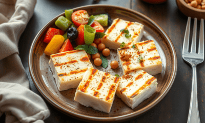
“A Sustainable Solution: Researchers Create Hybrid Cheese with 25% Pea Protein”